TouchScreenTravels logo

TouchScreenTravels

Our Touch, your Travels…

This is a preview of the full content of our Nice’s Best app.

Please consider downloading this app to support small independent publishing and because:

  • All content is designed for mobile devices and works best there.
  • Detailed in-app maps will help you find sites using your device’s GPS.
  • The app works offline (one time upgrade required on Android versions).
  • All advertising (only present on Android versions) can be removed.

The app will also allow you to:

  • Add custom locations to the app map (your hotel…).
  • Create your own list of favourites as you browse.
  • Search the entire contents using a fast and simple text-search tool.
  • Make one-click phone calls (on phones).
iOS App Store Google Play

Vallée-de-la-Roya

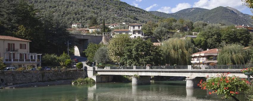
The Roya Valley runs through some beautiful scenery from Ventimiglia on the Ligurian coast and some amazing gorges north of Breil to the high mountains of the Col de Tende in the north.

The Mercantour returned

Part of the Upper Roya Valley, along with part of the upper Vésubie valley and the Tinée Valley, did not become part of the France until the Italian Government was forced to hand them over in 1947. When the rest of the County of Nice reverted to France, the King of Sardinia had kept the Mercantour for hunting!

The Upper Roya starts at the Col de Tende and runs down past Tende and Saorge to Breil-sur-Roya. The lower valley starts here and continues into Italy until it reaches the Mediterranean at Ventimiglia. The ancient Route de Sel passes through Tende on this itinerary.

Train des Merveilles

A great way to see the Roya Valley is by rail. The Train des Merveilles runs from Nice via Breil-sur-Roya to Tende finishing up at Cuneo in Italy

Practical Info Practical Info icon

Département: Alpes-Maitimes. Check out my Roya Valley Driving Tour in Nice's Best

Nice Beyond: Driving the Roya

Amazing mountains, fast flowing rivers and a valley of marvels

Text © Paul Shawcross

Image by © Paul Shawcross