TouchScreenTravels logo

TouchScreenTravels

Our Touch, your Travels…

This is a preview of the full content of our Barbados’ Best app.

Please consider downloading this app to support small independent publishing and because:

  • All content is designed for mobile devices and works best there.
  • Detailed in-app maps will help you find sites using your device’s GPS.
  • The app works offline (one time upgrade required on Android versions).
  • All advertising (only present on Android versions) can be removed.

The app will also allow you to:

  • Add custom locations to the app map (your hotel…).
  • Create your own list of favourites as you browse.
  • Search the entire contents using a fast and simple text-search tool.
  • Make one-click phone calls (on phones).
iOS App Store Google Play

Bus

Getting around the island

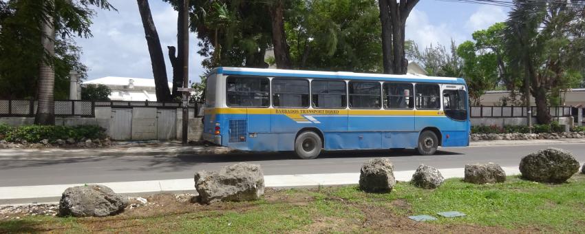
The bus system is excellent in Barbados, especially along the West and South coasts. Bus routes tend to radiate outwards from Bridgetown’s three bus terminals, which are a 10–20min walk from each other. All buses, irrespective of type or distance charge BD$3.50 per journey.

Bus terminals

Broadly speaking, Fairchild St Bus Terminal (this entry’s map location), bang in the centre of Bridgetown, serves the South Coast and most Central and East Coast destinations.

Princess Alice Terminal, at the northern end of town, serves the West Coast, a few Central and East Coast destinations and the North.

Although a few ZRs (see below) leave from Princess Alice, the other ZRs and yellow buses leave from the relatively new Constitution River Terminal, which is a 5–10minute walk along the river behind Fairchild St Terminal.

Two satellite bus stations are located in Oistins, on the South Coast, and Speightstown, on the West Coast. The latter serves many of the northern areas.

Read the full content in the app
iOS App Store Google Play

Transport

Text © Sara Humphreys

Images by Sara Humphreys