TouchScreenTravels logo

TouchScreenTravels

Our Touch, your Travels…

This is a preview of the full content of our Nice’s Best app.

Please consider downloading this app to support small independent publishing and because:

  • All content is designed for mobile devices and works best there.
  • Detailed in-app maps will help you find sites using your device’s GPS.
  • The app works offline (one time upgrade required on Android versions).
  • All advertising (only present on Android versions) can be removed.

The app will also allow you to:

  • Add custom locations to the app map (your hotel…).
  • Create your own list of favourites as you browse.
  • Search the entire contents using a fast and simple text-search tool.
  • Make one-click phone calls (on phones).
iOS App Store Google Play

Vallon de la Gordolasque

Pathway to the Merveilles

The Gordolasque river flows into the Vésubie just below Belvédère. It descends from the Lac de la Fous at 2675m, (operated by EDF), and Lac Long to the north on the terrace of Gelas just inside the Italian border below the Cime de Gélas (3143m/).

The end of the road

This stunning and isolated, 19.7km/12.3m long, valley is accessed from Bélvèdere.

It winds up past a couple of hamlets and the Cascade du Ray before reaching the Pont du Gountlet and the desolate yet beautiful Lac du Basto. Here the road ends and a footpath leads to the beautiful waterfall named the Cascade d’Estrech.

Pathway to the Merveilles

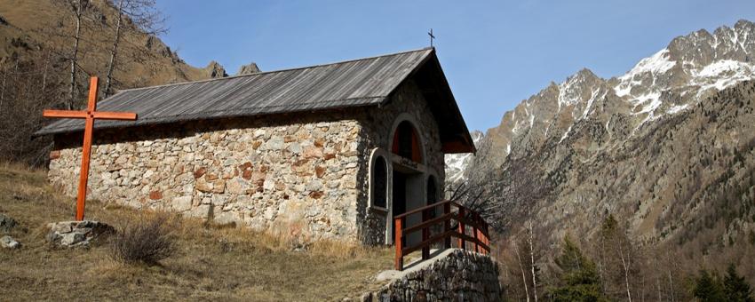
Near St Grat, the Relais des Merveilles provides a place to stay. Above all it provides a starting point for one of the routes up to the Vallée des Merveilles.

Walk: Check out this short walk from the Pont du Gountet

Practical Info Practical Info icon

Département: Alpes-Maitimes.

www.lagordolasque.com

Nice Beyond (L'Arrière Pays Niçois)

Text © Paul Shawcross

Image by © Paul Shawcross