Car
The key to rural New England

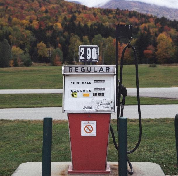
Cars make many areas of New England accessible. Bring your own car or rent one from one of the major chains. Gas and charging stations are plentiful along the coast and every 50-70 miles along major interstates, though rural areas in northern Vermont and New Hampshire are more limited, perhaps 1-2 stations per town. Use PlugShare or A Better Routeplanner to plan for charging stops.
Interstates & highways
Many major highways and interstates provide access to and through New England. They are mostly traffic free except around cities, or if there is construction or an emergency situation. The I-95 runs along the coast of New England, hitting all states but Vermont. The I-91 connects western Massachusetts and Vermont from Connecticut northward. The I-89 and I-93 provide scenic access to New Hampshire and northern Vermont. Toll roads (like the Mass Pike/I-90) are common, and accept EZ Pass, pay-by-plate, and cash.
Rest stops