TouchScreenTravels logo

TouchScreenTravels

Our Touch, your Travels…

This is a preview of the full content of our Mexico City’s Best app.

Please consider downloading this app to support small independent publishing and because:

  • All content is designed for mobile devices and works best there.
  • Detailed in-app maps will help you find sites using your device’s GPS.
  • The app works offline (one time upgrade required on Android versions).

The app will also allow you to:

  • Add custom locations to the app map (your hotel…).
  • Create your own list of favourites as you browse.
  • Search the entire contents using a fast and simple text-search tool.
  • Make one-click phone calls (on phones).
iOS App Store Google Play

Parque Nacional Cumbres del Ajusco

Cilimb the city's highest peak

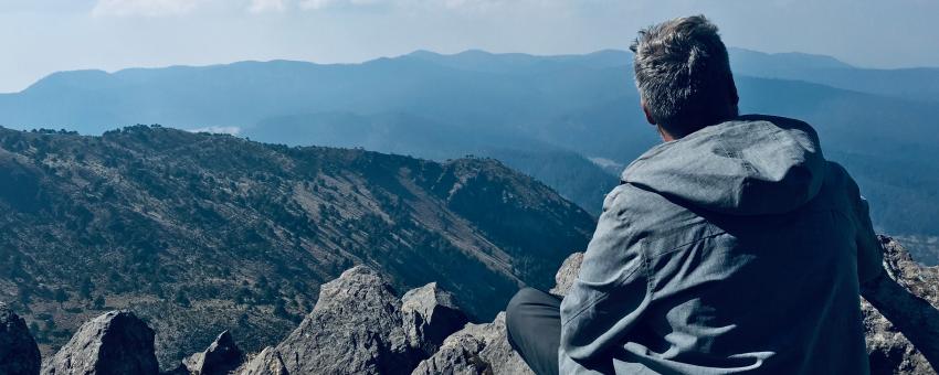
For a breath of fresh air, hike up to Mexico City’s highest peak, a 12,916-foot (3,936-meter) extinct lava dome volcano known as Pico del Águila (the trailhead is near the Albergue Alpino Ajusco).

You’ll find a slew of options for hiking and biking in the crisp Ajusco mountains, including numerous trails in Parque Ejidal San Nicolas Totolapan, a vast eco-park with affordable cabin rentals.

For lunch, drop by the open-air Guarida del Conejo and warm up with spicy mushroom soup amid fragrant pines.

Practical Info Practical Info icon

Ajusco is best reached by car.

mexicocity.cdmx.gob.mx/cumbres-del-ajusco-national-park/

Outside the City

Outdoors

Text © John Hecht

Image by John Hecht