TouchScreenTravels logo

TouchScreenTravels

Our Touch, your Travels…

This is a preview of the full content of our Devon & Cornwall’s Best app.

Please consider downloading this app to support small independent publishing and because:

  • All content is designed for mobile devices and works best there.
  • Detailed in-app maps will help you find sites using your device’s GPS.
  • The app works offline (one time upgrade required on Android versions).
  • All advertising (only present on Android versions) can be removed.

The app will also allow you to:

  • Add custom locations to the app map (your hotel…).
  • Create your own list of favourites as you browse.
  • Search the entire contents using a fast and simple text-search tool.
  • Make one-click phone calls (on phones).
iOS App Store Google Play

Dartmoor Walks

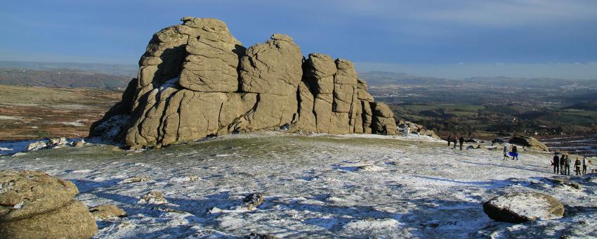
Dartmoor has a whopping 450 miles of public rights of way. Some follow stone tracks once used by miners and quarriers. Some are short, well-used and waymarked. Others strike out across an expanse of open moor.

Bad and changeable weather can make it easy to get lost - wear the right kit and carry a map and compass. Be aware parts of the moor are also used by the military as live firing ranges.

The DNPA’s website has a wealth of useful information for walkers.

Granite Way

Cycling with Dartmoor views (11 miles)

Lydford Gorge Walk

Oak woods & waterfalls (1.5 miles)

Merrivale Stone Row Walk

Stroll beside prehistoric remains (1 mile)

Teign Gorge Walk

Hike a dramatic wooded valley (4 miles)

Widecombe-Hamel Down Hike

Ridge top walk with dramatic views (8 miles)

Wistman’s Wood Walk

A magical forest of moss-covered oaks (3 miles)

Text © Belinda Dixon

Image by Dartmoor National Park Authority