TouchScreenTravels logo

TouchScreenTravels

Our Touch, your Travels…

This is a preview of the full content of our Provence’s Best app.

Please consider downloading this app to support small independent publishing and because:

  • All content is designed for mobile devices and works best there.
  • Detailed in-app maps will help you find sites using your device’s GPS.
  • The app works offline (one time upgrade required on Android versions).
  • All advertising (only present on Android versions) can be removed.

The app will also allow you to:

  • Add custom locations to the app map (your hotel…).
  • Create your own list of favourites as you browse.
  • Search the entire contents using a fast and simple text-search tool.
  • Make one-click phone calls (on phones).
iOS App Store Google Play

Luberon Natural Park

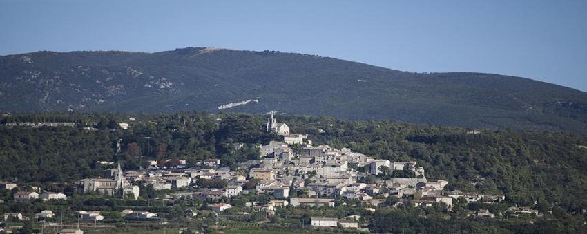
The Luberon is a range of mountains stretching 65km/40mi from Cavaillon to Manosque. The Petit Luberon in the west and the Grand Luberon in the east are separated by the beautiful Combe de Lourmarin which runs through the mountains from Bonnieux to Lourmarin.

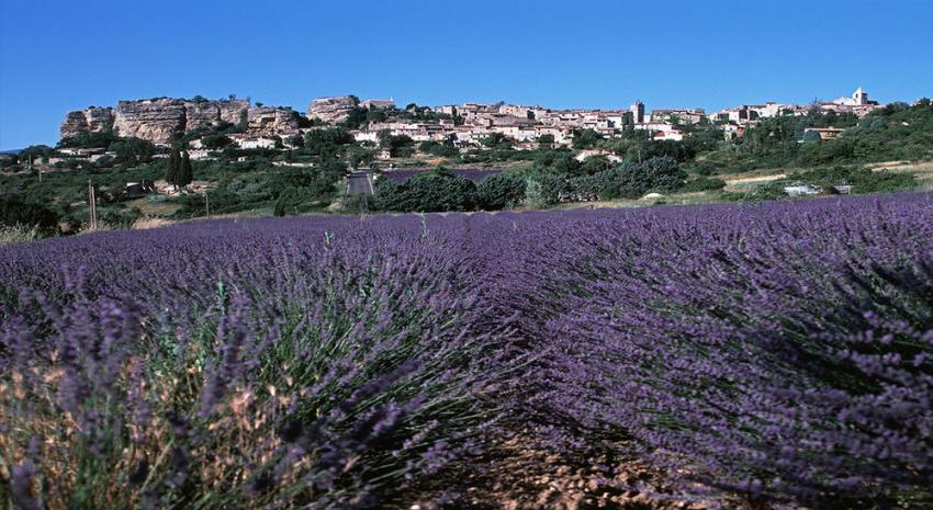
In order to protect this magnificent unspoiled terrain the authorities created the Parc Naturel Regional du Luberon in 1977. It covers about 140,000 ha. mostly in the Vaucluse. although some of the Park is in the Alpes de Haute-Provence.

Lavender field with Mont Ventoux

Views of Mont Ventoux

The highest mountain is the Mourre Negre or ‘Black Face’ at 1125m/3691ft in the Grand Luberon. From the summit you can see the Vaucluse Plateau and Mont Ventoux to the north and the Durance Valley and Mont Ste-Victoire in the south.

Read the full content in the app
iOS App Store Google Play

Outdoors & Hiking

Vaucluse

Text © Paul Shawcross

Images by © Paul Shawcross, Photo by Paul Shawcross