TouchScreenTravels logo

TouchScreenTravels

Our Touch, your Travels…

This is a preview of the full content of our France’s Best app.

Please consider downloading this app to support small independent publishing and because:

  • All content is designed for mobile devices and works best there.
  • Detailed in-app maps will help you find sites using your device’s GPS.
  • The app works offline (one time upgrade required on Android versions).

The app will also allow you to:

  • Add custom locations to the app map (your hotel…).
  • Create your own list of favourites as you browse.
  • Search the entire contents using a fast and simple text-search tool.
  • Make one-click phone calls (on phones).
iOS App Store Google Play

Canal de Bourgogne

Burgundy Canal

Canal de Bourgogne

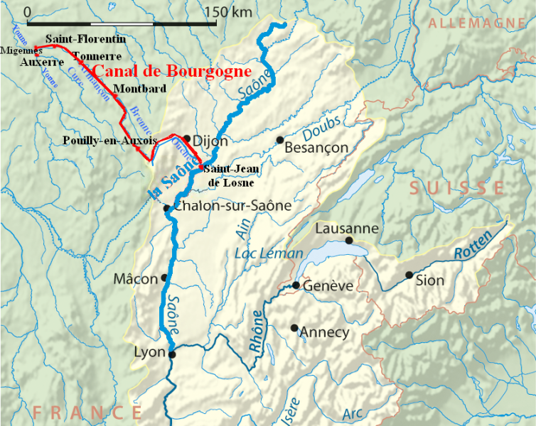
A great way to see some of the northern parts of Burgundy is take advantage of the Burgundy Canal which runs through the départements of the Yonne and the Côte d’Or from Migennes near Auxerre to a short distance (20m/32k) south west of Dijon where it meets the River Saône.
Canal de Bourgogne

Map showing the Canal de Bourgogne linking the Rivers Yonne and Saône

You can take a cruise, hire a boat, walk or cycle the towpath which runs for most of the 242k/150m length of the waterway - take your pick!
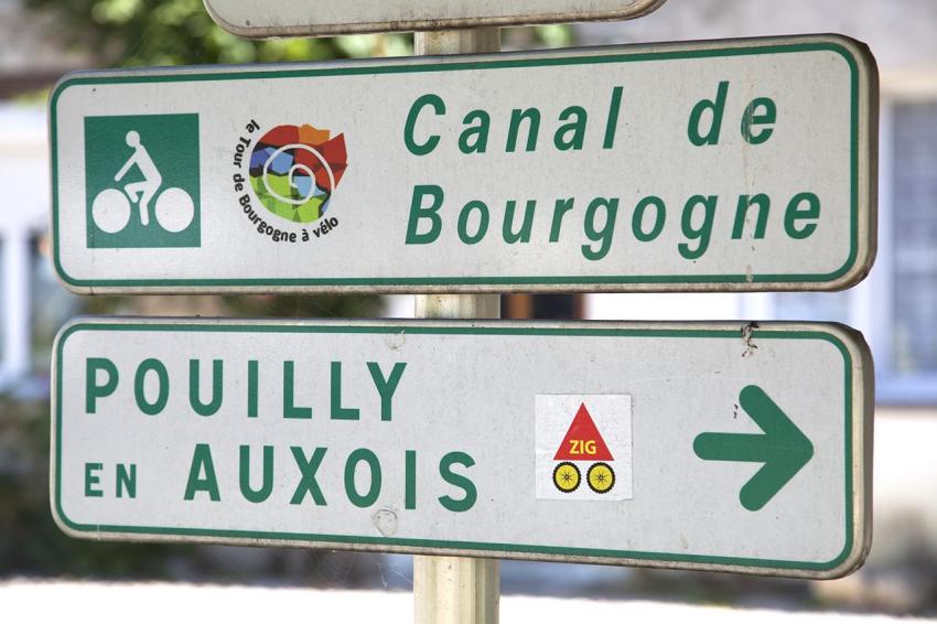
Veloroute Sign

The summit of the Canal is at Pouilly-en-Auxois where it passes through a 3.3k/2m tunnel (no towpath here) just beyond the Port de Plaisance and the Pouilly Lock (Image below).

Read the full content in the app
iOS App Store Google Play

Bourgogne-Franche-Compté

Text © Paul Shawcross

Images by Paul Shawcross, PRA